Getting around Chicago Public Transportation
Visit Chicago
Looking for information on how to get around Chicago public transportation? This resource will help plan a trip so that you can make the most of your Chicago itinerary. Visit the provided links to find out more about local transport options.
By foot
Chicago is a walkable city between the downtown Financial District, the near west side, and all the way to Lincoln Park via the Magnificent Mile. Green spaces like Grant Park and Millenium Park provide a fresh space for walking. The Lakefront Trail, Chicago Riverwalk, and Lincoln Park, are likewise kind to walkers. For those looking to educate themselves in movement, there are numerous Chicago walking tours available. Known for its distinct four seasons, some days may prove too harsh for an open stroll. Such days provide an opportunity to use the lesser-known Chicago PedwayOpens in a new window, a system of indoor underground walkways in the Loop. In warmer months, Chicago's urban planning lends itself to enjoying a segway tourOpens in a new window

By bike
Cycling Chicago is possible because there are bike lanes, dedicated green spaces with pedestrian and cycle paths, and a general awareness of cyclists. It's still important to be careful when riding a bike in Chicago, because like any big city the traffic can be maddening. Plan a trip with a bike tour company to save yourself the hassel of planning routes yourself. For gregarious adventurers, peppered throughout downtown Chicago are bike share stationsOpens in a new window, and for a nominal fee travelers can use these bikes at will for a whole day.
See bike route mapsOpens in a new window

By train and bus
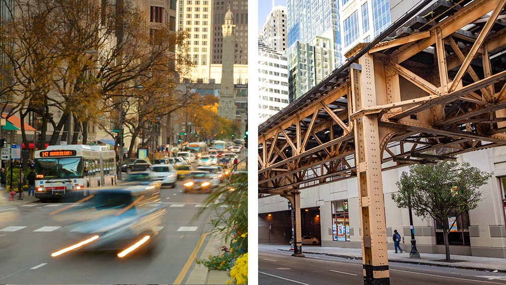
The official Chicago Transit Authority (CTA) websiteOpens in a new window has the most up-to-date information about local public transportation. Chicago's public transportation system is well-suited to the carless traveler.
The local train is referred to as the "L", since there is more track above street level than below. Learn this nomenclature, because asking for the "metro" or the "subway" may confuse Chicagans. The L circles the downtown area before its color-coded lines stretch out toward the suburbs to the north, south, and west. This circle is called the "Loop", which is how locals refer colloquially to downtown Chicago. There are different ways to pay, but the Ventra card is the most common (see fare information hereOpens in a new window).
Riding the CTA busOpens in a new window is easy, and routes tend to fill in the spaces the L train does not serve. Fares are transferable between bus and L train for a small additional fee. Between these two modes of transportation, travelers can access any part of the city.
See official CTA maps and routes for trains and busesOpens in a new window
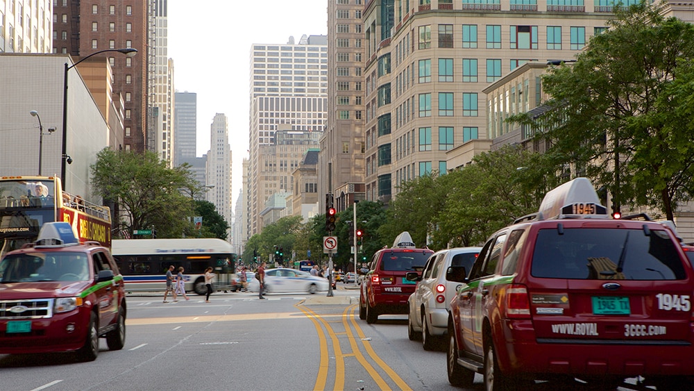
By car and taxi
Most of Chicago is accessible by foot and public transport, but some prefer the flexibility of a rental car, especially for those planning on more distant excursions. Parking in downtown Chicago can be expensive, so it is smart to book a hotel with free parking if possible. Chicago is nicely connected to its surrounds by local roads, highways, and the interstates. Winter travelers should be wary of renting cars if not adept at driving in the snow and ice. Chicago has a number of large taxi transport companies servicing the proper and subrubs, so travelers can easily hail a cab. Also, rideshares are readily available throughout the Chicagoland area.
By water
Time permitting, taking a water taxi offers a unique way to experience the city. There are a number of boat tours for those travelers interested in learning about Chicago's architectural history that leave from downtown or Navy Pier. There is also a regular service with 7 routesOpens in a new window connecting as far north as Goose Island with as far south as Chinatown. Winter might prove a difficult time to book these trips as sometimes snow and ice affect the schedule.

Getting out of Chicago
By train
Amtrak trains call in at Union StationOpens in a new window. Take the L's Blue Line to Clinton Station, and walk two blocks north. Ticket holders with late or early travel arranged should consider booking hotels closest to the station.
Metra RailOpens in a new window trains also use Union Station for south-bound routes, while north-bound routes depart from Ogilve Transportation Center. Metra has 11 commuter rail lines that connect Chicago further afiled than the L train, bringing in commuters from as far as Kenosha, Wisconsin (see system mapOpens in a new window).
By bus
Buses leave from the Chicago Greyhound terminal, but there are bus stations throughout the Chicagoland area both from Greyhound and other bus companies. Since Expedia doesn't sell bus tickets, we're happy to link to where you can find bus tickets.
By car
Chicago's main interstates are i-90, i-55, and i-94 (i-294 encircling the metro area). i-88, i-57, and i-80 also continue outside of Chicago toward neighborhoring states. If flying into Chicago, it is best to reserve a rental car at O'Hare or at Midway airports.
By plane
Flights from O'Hare International Airport and those from Midway International Airport connect Chicago to the country and the world. Take the L train Blue line to O'Hare, and the orange line to Midway (more on thatOpens in a new window). Search here for ground transfer options to and from Chicago's airports.
By foot
Visitors can walk 12 hours to the Ogden Dunes in IndianaOpens in a new window, but we recommend you don't.